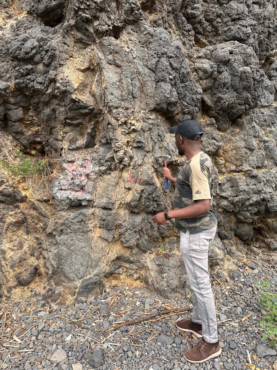
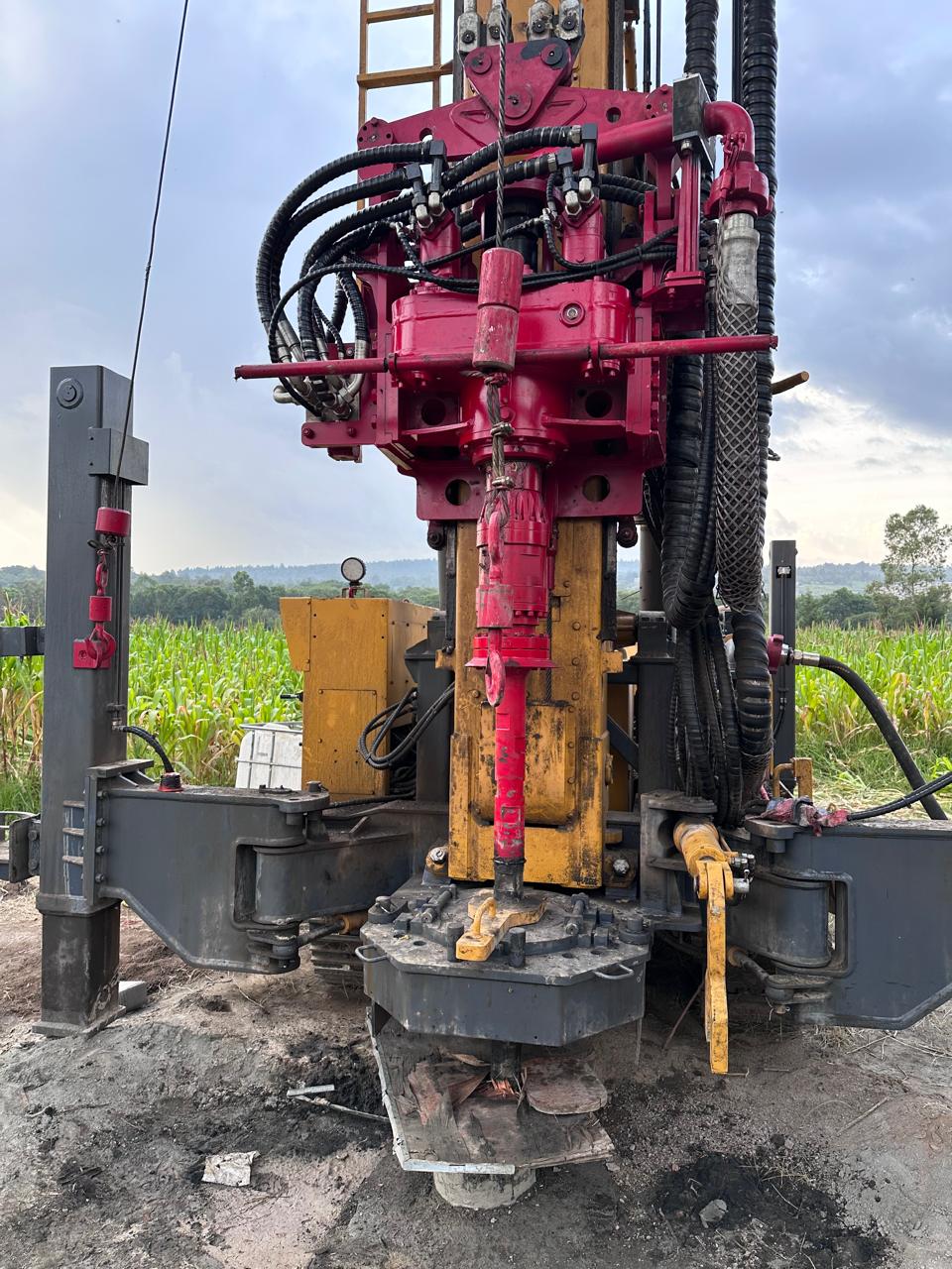
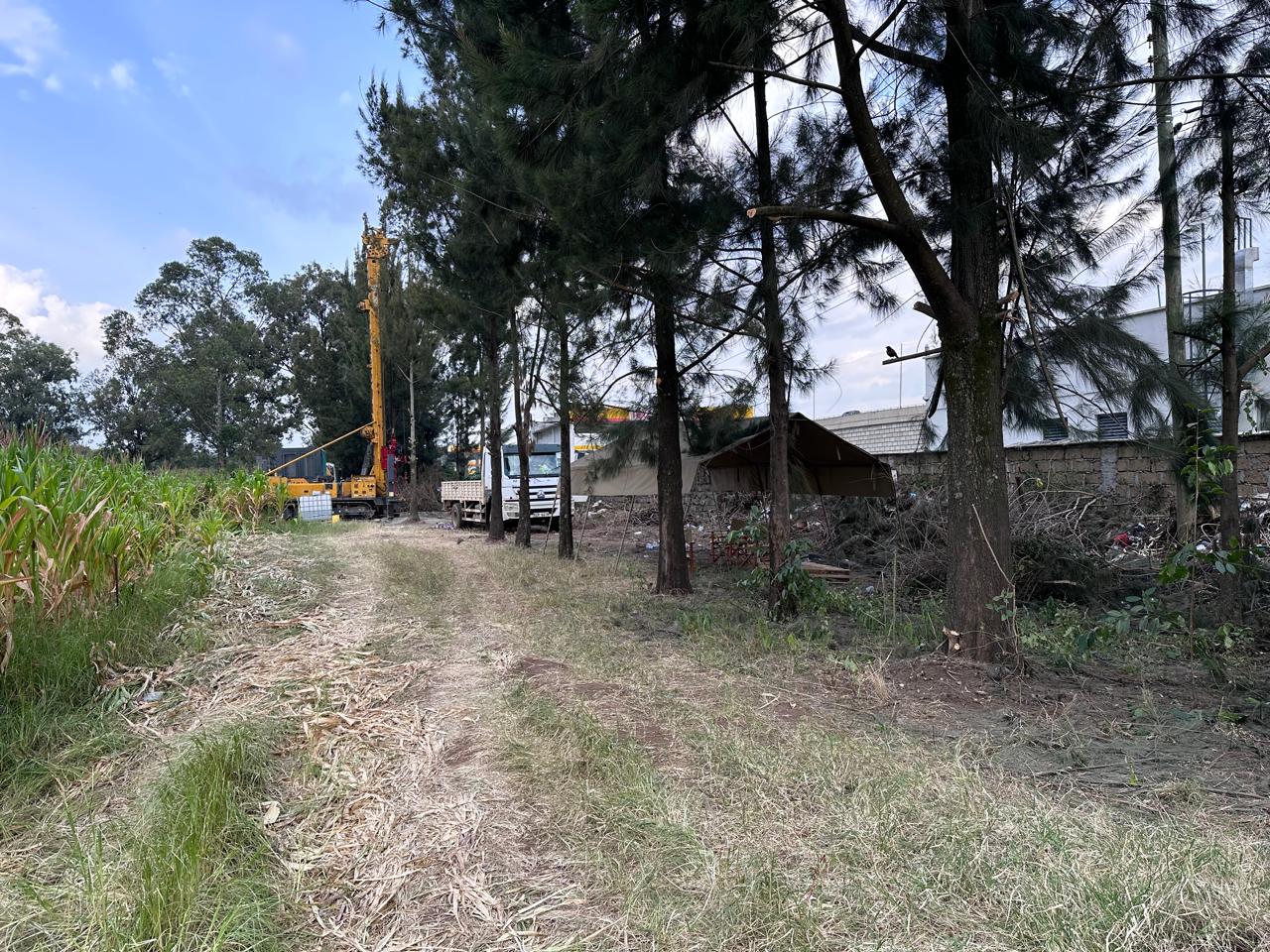
Subsurface intelligence • Nakuru, Kenya

See beneath the surface. Build with confidence.

Integrated borehole geophysics, geotechnical investigation, and soil analysis for better engineering and groundwater decisions.

BH01 • Borehole profile
DEPTH • LOGGING • ANALYSIS
01Borehole geophysics
02Geotechnical surveys
03Soil analysis
360°Integrated interpretation

Technical services
for the ground beneath.

From reconnaissance and field acquisition to laboratory characterization and engineering interpretation, we turn subsurface data into decisions.

⌁

Borehole Geophysical Surveys

Downhole measurements that reveal lithology, fractures, fluid-bearing zones and borehole conditions beyond what cuttings alone can show.

  • Electrical resistivity / conductivity
  • Natural gamma and spontaneous potential
  • Integrated lithological interpretation
▦

Geotechnical Surveys

Ground investigations for buildings, roads and civil infrastructure, designed to characterize engineering behavior and support safe design.

  • Site reconnaissance and investigation planning
  • Subsurface profiling and sampling
  • Foundation and pavement investigations
  • Geotechnical reporting and interpretation
◌

Soil Analysis

Laboratory testing and characterization of soil materials to support classification, engineering assessment and foundation or pavement decisions.

  • Particle size distribution
  • Atterberg limits and soil classification
  • Moisture content and density testing
  • Engineering interpretation and reporting
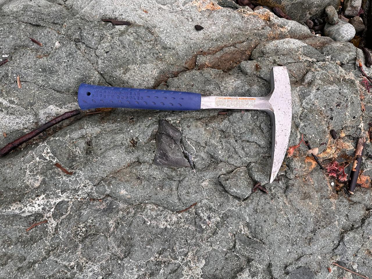
One workflow.
Three evidence streams.

Field observations become stronger when geophysical, geotechnical and laboratory evidence are interpreted together.

01 / PLAN

Define the question

Scope the engineering or geological objective, depth and required data.

02 / ACQUIRE

Measure the ground

Collect borehole, geotechnical and representative laboratory samples.

03 / ANALYZE

Characterize materials

Combine logs, physical observations and soil laboratory results.

04 / INTERPRET

Deliver decisions

Translate subsurface evidence into clear engineering and geoscience recommendations.

Built around
evidence, not assumptions.

Our approach connects measurements at the borehole, ground and laboratory scale. The result is a defensible subsurface model that can support investigation, design and geotechnical or geological interpretation.

Field-ready

Investigation programs designed around real site constraints, target depths and decision requirements.

Laboratory-led

Laboratory evidence adds a detailed view of soil properties and material behavior to the field dataset.

Decision-focused

Reports emphasize what the data means for foundations, roads, boreholes, resources and subsurface risk.

Planning a site investigation?

Tell us your location, project type, target depth and the decision you need the investigation to support.

Request a quotation →